V_
V_
A digital map interface showing the outline of Switzerland. Various geographic features like rivers, lakes, and cities are marked. A pop-up color palette is visible, allowing adjustments to the map's border color. On the right, there's a list of layers with checkboxes for features such as country, rivers, lakes, coastlines, cities, and neighboring countries. An "Export" button is located at the top right.

Finished (for now) my mapping tool. Check it out here.

|
Embed
Progress spinner
holgerfrohloff
holgerfrohloff

@V_ Congrats!
what does it do?
Just clicked through and tried toggling cities but couldn’t see any difference. What did you build it for?

|
Embed
Progress spinner
V_
V_

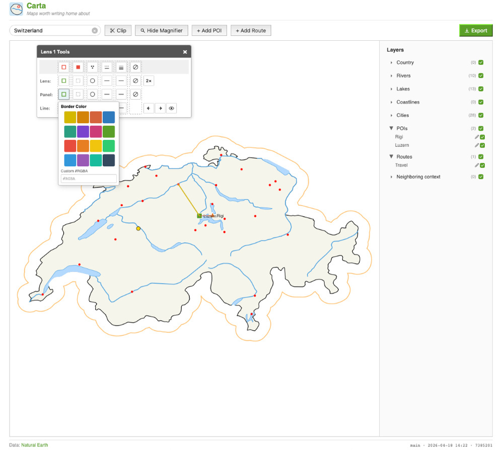
@holgerfrohloff I use it to make “context” images of where I live for the postcards is send via Postcrossing. Show where the motive is from on the card for example. Or show the travel route I had while traveling through their country.

Regarding not seeing differences after toggling cities: I see you just found a bug oO

|
Embed
Progress spinner
In reply to
holgerfrohloff
holgerfrohloff

@V_ cool. It did look good so there is that.

|
Embed
Progress spinner