🗺️ One of the things I try to do when on the island (or anywhere remote) is update OSM with new amenities, or delete ones that have closed.
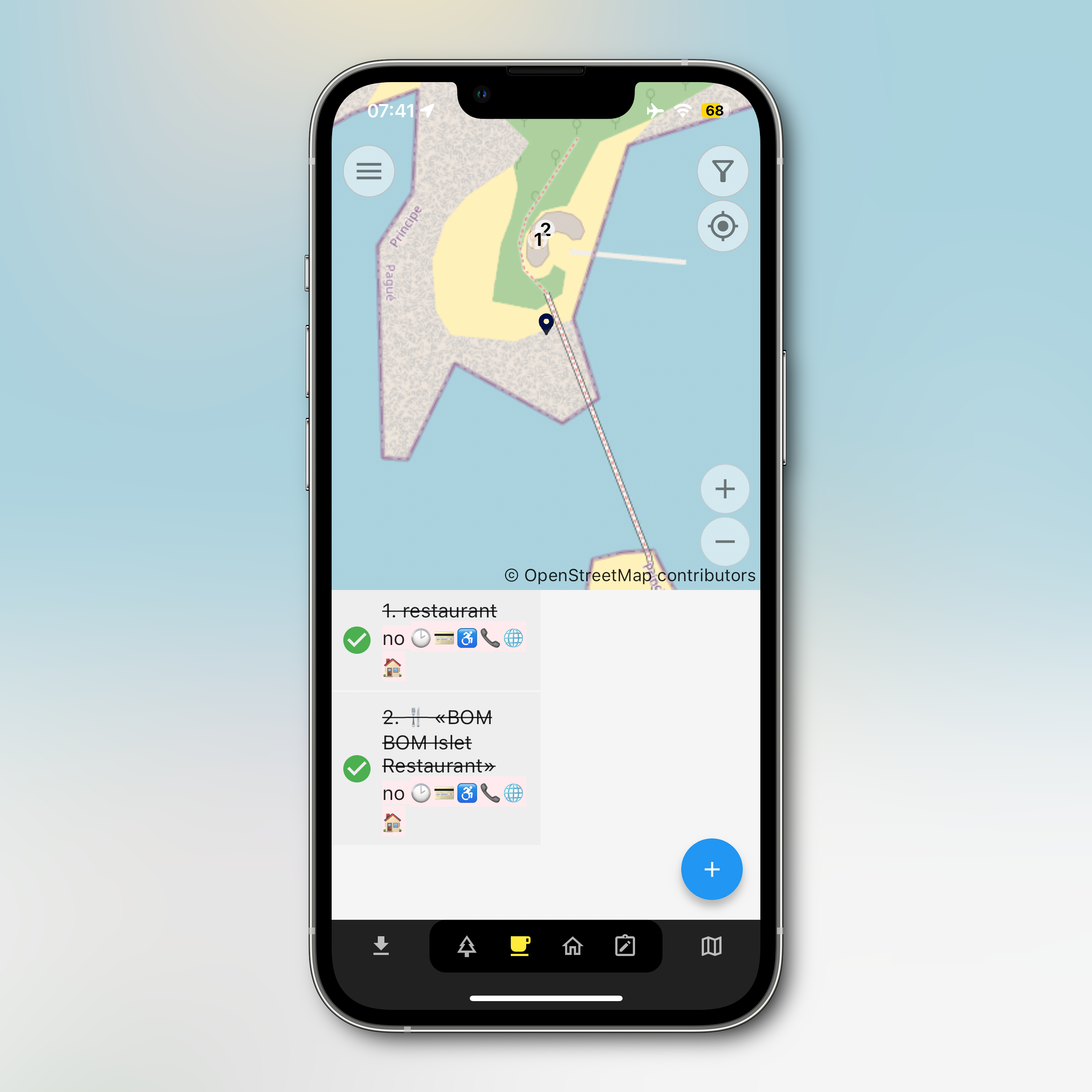
I’m using Every Door at the moment. It works, but pretty it is not. Alternatives? Anyone?
🗺️ One of the things I try to do when on the island (or anywhere remote) is update OSM with new amenities, or delete ones that have closed.
I’m using Every Door at the moment. It works, but pretty it is not. Alternatives? Anyone?
@maique Maybe there's something on the wiki or somebody on their Mastodon instance knows?
Thanks for sharing, though. I keep forgetting to add OSM stuff to my planning; going to get involved with mapping around here and stuff. Hopefully in the process I'll dig up some other app options.